

Quick answer
A Mauritius snorkeling map identifies Blue Bay Marine Park on the southeast coast as the primary protected zone, with additional reef access at Flic en Flac and Balaclava on the west, Trou aux Biches and Pereybere in the north, and Belle Mare on the east. All public beaches permit free entry year-round, with optimal underwater visibility between 08:00 and 11:00 before afternoon winds disturb sediment.
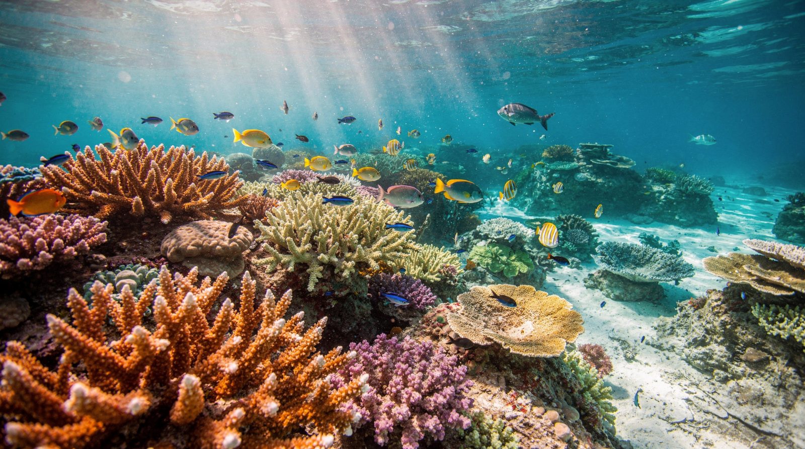
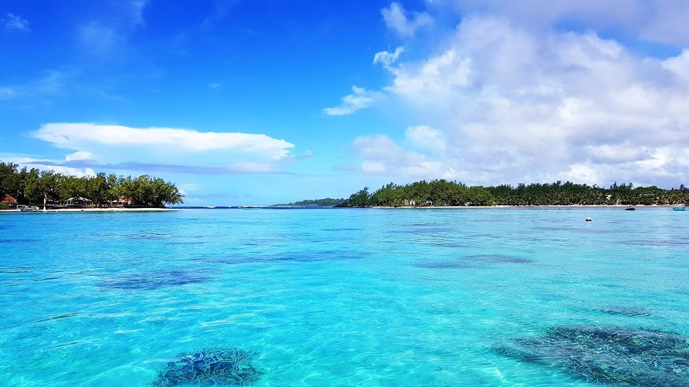
Blue Bay Marine Park remains the only formally demarcated snorkeling zone in Mauritius, its buoyed perimeter enclosing roughly 350 hectares of shallow reef between Pointe d'Esny and Ile des Deux Cocos. The park's staghorn and brain coral formations thrive in water rarely deeper than four meters, and surgeonfish, parrotfish, and trumpetfish dominate the resident populations. Glass-bottom boat operators anchor outside the swim zones, but individual snorkelers enter directly from the public beach at no cost. The west coast presents a different reef architecture. Flic en Flac's fringing reef runs parallel to shore for nearly three kilometers, its outer edge dropping to sand channels frequented by octopus and moray eels. Balaclava's lagoon, by contrast, confines coral heads to scattered bommies within a shallow basin, ideal for beginners but limited in species diversity. Both sites experience afternoon chop as southeast trade winds accelerate across the lagoon. Northern entry points cluster around Grand Baie, where Trou aux Biches offers the calmest morning conditions and Pereybere provides rockier substrate with more complex coral structures. Belle Mare on the east coast attracts fewer snorkelers due to stronger currents beyond the reef crest, though its outer slope visibility frequently exceeds fifteen meters. The southern coast from Le Morne to Blue Bay sees minimal snorkeling traffic owing to exposed swell and limited reef development. Coral bleaching events in 2019 and 2023 reduced live coral cover across all zones, with recovery rates varying by depth and exposure. Blue Bay's protected status has accelerated regeneration within its boundaries, while unmanaged sites show slower polyp recruitment. Seasonal plankton blooms between January and March reduce visibility to under five meters in shallow lagoons, making the cooler months from May through November the preferred window for reef observation.
“Blue Bay's buoyed perimeter encloses the island's only formally protected snorkeling zone, where staghorn coral regenerates under monitored conditions.”
When to Visit for the Best Mauritius Snorkeling Map Experience
The best arrival window for snorkeling in Mauritius is 08:00–11:00, providing calmer waters and optimal light for underwater visibility. Planning your visit during these hours ensures the best conditions for exploring the marine environment.
Weekday mornings
Minimal crowds—
These times offer the highest clarity and least interference from other visitors.
November to April
Moderate crowdsWarm, humid, air 25–30°C
This period features warmer water temperatures conducive to longer snorkeling sessions.
May to October
Low to moderate crowdsCooler, drier, air 20–25°C
Trade winds can affect water surface conditions, so prioritize early morning arrival during these months.
Verdict: The best slot for the Mauritius snorkeling experience is weekday mornings between 08:00–11:00 during the transitional months of April or October.
Official Opening Hours for Mauritius Snorkeling Map Sites
Public beach areas associated with the Mauritius snorkeling map remain accessible to the public at all times. Visitors may access these coastal locations daily, including weekends and public holidays.
| Monday | 00:00–23:59 | |
|---|---|---|
| Tuesday | 00:00–23:59 | |
| Wednesday | 00:00–23:59 | |
| Thursday | 00:00–23:59 | |
| Friday | 00:00–23:59 | |
| Saturday | 00:00–23:59 | |
| Sunday | 00:00–23:59 |
Entrance Fees and Costs on Your Mauritius Snorkeling Map
Access to snorkeling areas within Mauritius public beaches is free of charge. Visitors do not pay admission fees to enter these designated coastal zones.
Adults pay 0 MUR for beach access, as all costs are limited to optional equipment rentals or guided services.
Navigating to Your Mauritius Snorkeling Map Locations
Blue Bay Marine Park is located on the southeastern coast of Mauritius. It is most easily accessed by private car, taxi, or local bus routes originating from Mahebourg.
Line 162 or 164 from Mahebourg Bus Station to Blue Bay
Follow B84 road south from Mahebourg to Blue Bay
Direct transfer from Sir Seewoosagur Ramgoolam International Airport
Key Zones to Identify on Your Mauritius Snorkeling Map
Blue Bay Marine Park features distinct underwater topographies that house diverse marine life. Navigating these zones allows snorkelers to observe various coral structures and fish species in their natural habitats.
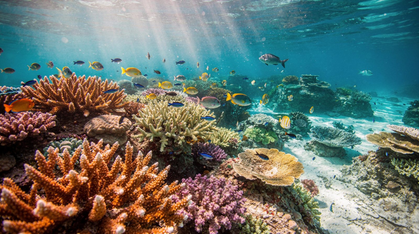
The Shallow Coral Gardens
This area consists of calm, sandy-bottomed lagoons filled with branching Acropora corals. It is the primary zone for observing juvenile reef fish.
Swim slowly over the corals to avoid damaging delicate structures.
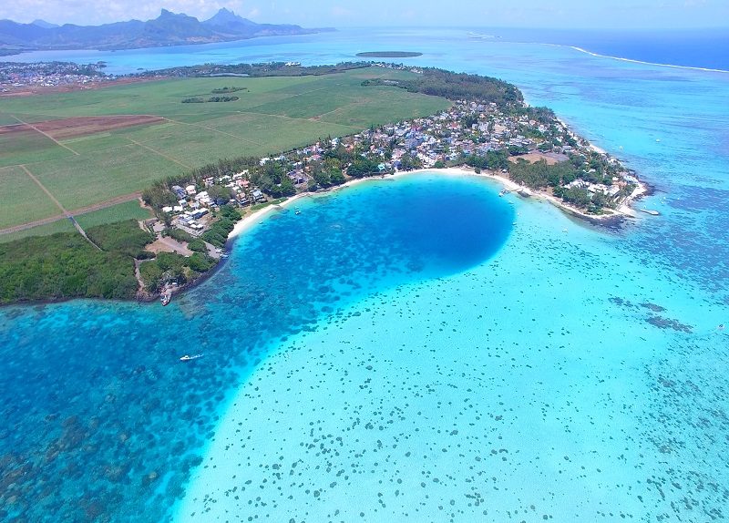
The Inner Reef Drop-off
The sea floor descends into deeper water, creating a transition zone where coral density increases significantly. This section attracts larger schools of surgeonfish and parrotfish.
Look for movement along the edge of the reef wall.
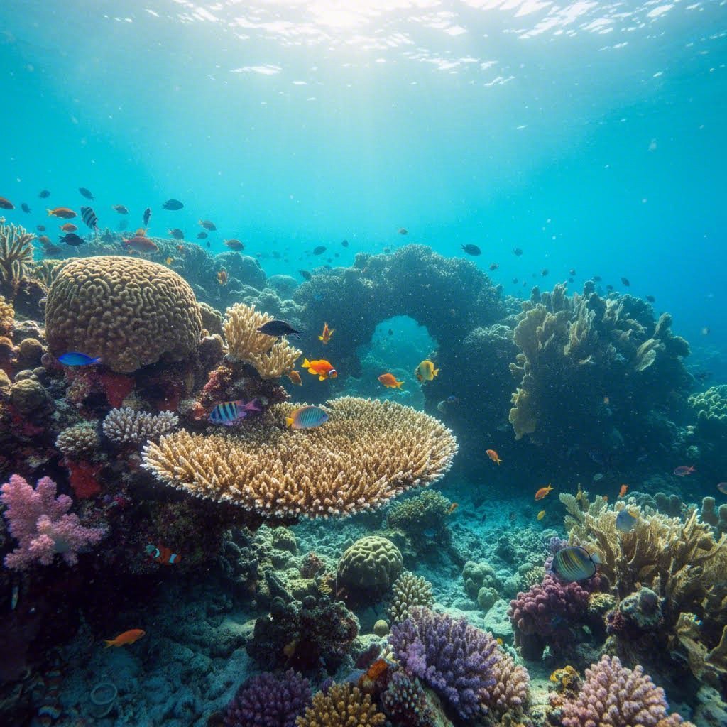
The Coral Pinnacles
Isolated columns of coral rise from the seabed, serving as cleaning stations for marine life. These structures provide shelter for moray eels and groupers.
Circle the pinnacles to view fish hiding in crevices.
The Sea Grass Beds
Located closer to the shore, these meadows act as nurseries for young marine organisms. Rays and sea turtles are occasionally spotted here during low tide.
Keep your eyes on the sandy patches between the grass.
Preparation Checklist for Your Mauritius Snorkeling Map Adventure
Blue Bay Marine Park's reefs demand reef-safe preparation and respect for protected marine habitat.
-
Pack reef-safe sunscreen (non-nano zinc/titanium) — Chemical sunscreens damage coral polyps and are banned in many marine parks.
-
Bring or rent snorkel gear — Properly fitted masks and snorkels prevent water ingress and ensure comfort during extended sessions.
-
Wear a rash guard or wetsuit — Protects against sun exposure and prevents accidental coral contact.
-
Check weather and sea conditions — Strong winds and swells reduce visibility and create hazardous currents.
-
Carry a waterproof bag for valuables — Public beach access means limited secure storage for phones and documents.
-
Arrive during the 08:00–11:00 window — Calmer morning waters and optimal light angles maximize underwater visibility.
Check availability
Frequently asked questions about the Mauritius snorkeling map
Everything you need to know about mauritius snorkeling map